
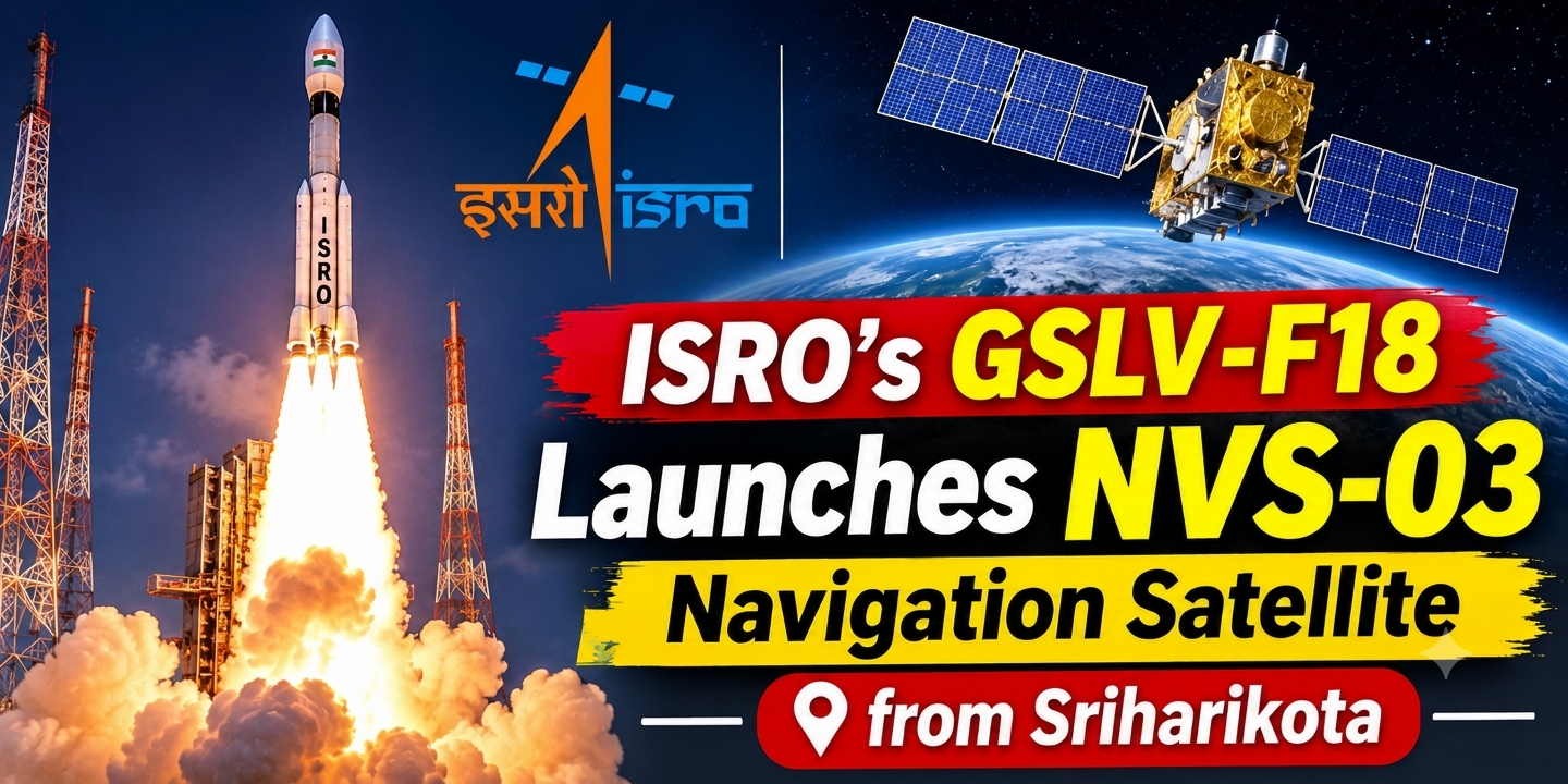
Sriharikota, ISRO’s GSLV-F18 rocket lifted off late on Friday night with the NVS-03 satellite on board, a new navigation satellite designed for the purpose of strengthening India’s indigenous NavIC system.
The 50-metre-tall rocket lifted off on time at 11.51 pm on October 30, 2026, from the second launch site at the Satish Dhawan Space Centre and began to rise into the dark sky at the end of a 24-hour countdown, this being the lengthy final phase during which the engineers checked all the systems before the launch.
The GSLV-F18 is a three-stage rocket having a lift-off mass of 420 tonnes and its function was to place the 2,232 kg NVS-03 into a Geosynchronous Transfer Orbit, or GTO. This orbit is oval in shape and extends around the Earth, being used by satellites as an initial stage before they reach their final position higher up.
Soon after launch, ISRO stated on social media that the GSLV-F18/NVS-03 mission had been a success and that the satellite had reached its intended orbit. The organisation referred to it as another milestone in both India’s space programme and for NavIC.
What NVS-03 is meant to do
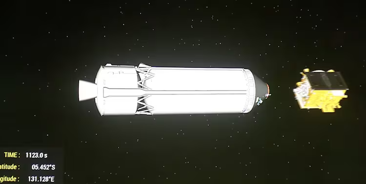
ISRO states that NVS-03 is the third satellite in the next-generation navigation system, the purpose of which is to ensure the continuation of navigation services for the IRNSS series; IRNSS is the satellite constellation which forms the foundation of NavIC, India’s own navigation network.
Simply put, navigation satellites transmit signals to Earth, and phones, vehicle trackers and other devices receive these signals in order to determine their position.
Clocks and signals on board
The satellite includes an atomic clock which was made in India as well as atomic clocks obtained from abroad. Atomic clocks are capable of keeping a very accurate time, and this is important since navigation relies on calculating how long it takes a signal to travel; even a small error in timing can cause the position reading to be wrong.
In addition to the L5 and S signals which are already in use, the NVS-03 also has an L1 signal. According to ISRO, the area of coverage will include the entire Indian land mass and a region extending about 1,500 km beyond India’s geopolitical boundary.
Why it matters
Such navigation systems are employed for tracking vehicles, guiding ships and aiding in the creation of maps. By having its own system, India need not rely solely on those operated by other countries. Every new satellite contributes to the increased strength and reliability of NavIC, and the launch of NVS-03 is yet another move in that regard.
What happens next
Satellites in geostationary transfer orbit are generally propelled step by step to their final orbit through the use of their own engines after a launch such as this, but ISRO has not included any information about that stage in the reports which have so far been published.